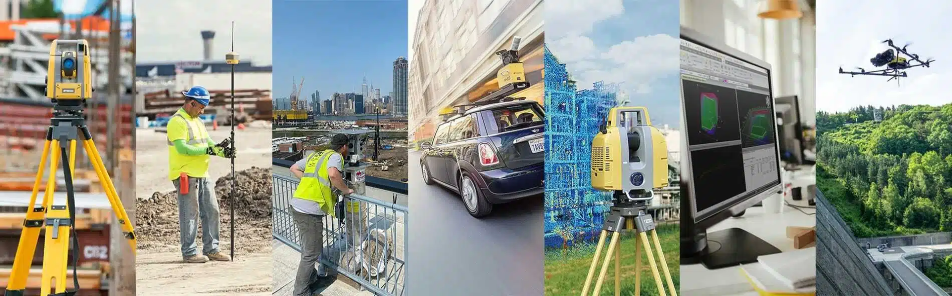
"GEOHAID Ltd. performs complex and specialized surveying activities, including:
- Construct measurement and processing of high-precision geodetic networks over large areas.
- Construction of measurement and processing of geodetic networks with local purpose.
- Creation of special purpose geodetic networks.
- Creation and updating of topographic, thematic, cadastral and specialized maps and plans at scales from 1:250 to 1:100 000.
- Surveys, master plans and vertical layouts for the needs of construction design, reconstruction and operation of construction sites. Tracing plans of buildings and structures. Giving building line and level, tracing building axes, level transfer, etc.
- Geodetic observations and analysis of deformations of the ground surface, buildings and structures.
- Surveying activities serving geophysical measurements.
- Creation of databases and graphics for GIS.
- Creation of 3D models.
- Determine volumes of land or water masses.
- Advice on methodologies, technology, software and surveying equipment.
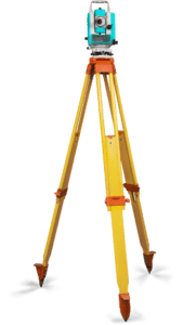
"GEOHAID Ltd. has state-of-the-art equipment, tools and software products necessary for the professional execution of commitments and agreements. The Company holds all necessary licenses and certificates for its activities and has established a registry in accordance with the CIPA. He is a member of the BCCI, SGZB and the Association of Surveying Companies.