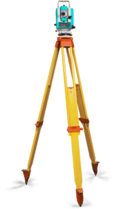
Photogrammetry
The company's activities in the field of photogrammetry are focused on:
The creation and updating of digital terrain models, cadastral and specialized maps
Capture and update models of engineering facilities
3D analysis of various objects
Participation in the creation of orthophoto maps
Satellite image delivery, processing and analysis
Consultation and management of photogrammetric projects


